Venturing South
Well, it's nearly been a month living in Carlisle, and tomorrow will be the start of my third week at university and there hasn't been much rain since moving into the house. With this in mind I didn't even bother trawling the Internet to find out which drainage basins had water in, instead I headed to Carlisle's Library on Saturday afternoon and routed out a rather nice book, crammed with short walks in the South Lakes. The evening was taken up with picking out a walk, getting everything ready, checking the route out on a map and planning how to get there by road. In the end that trusty Google Earth picked a route out for me down the side of Ullswater, up over Kirkstone Pass and down the aptly named 'The Struggle'.
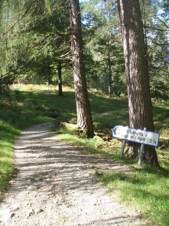
All in all the drive wasn't that bad, but it had me worried about the return journey. Driving back up 'The Struggle' wasn't an appealing thought what so ever, but we set off on our walk nevertheless. The walk started off in the village of Elterwater and followed the course of Great Langdale Beck until it reached the shores of Elterwater.
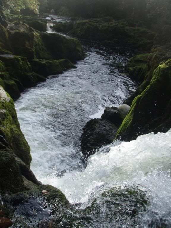
From here it joined some woodland before meeting up with the River Brathay, flowing out of Elterwater and down over Skelwith Force.
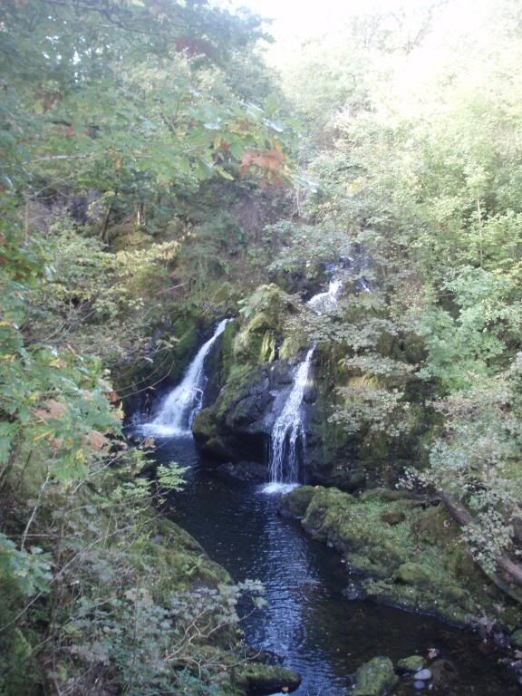
It then carried on along the banks of the river before crossing on to the other side at Skelwith Bridge and on, across country past Park Farm and Low Park, to Colwith Force on Little Langdale Beck.
Here the path continued to High Park and eventually reached Stang End. As you headed onto Wilson Place you had amazing views up the Little Langdale Valley.
Continuing on, traversing the base of Lingmoor Fell and skirting around some disused quarries you reached Baysbown Farm.
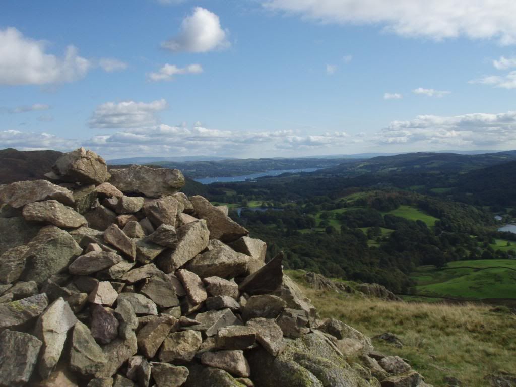
Continuing on the path brought you past Oak Howe and eventually Great Langdale Beck was crossed before heading up the fell, which towers behind Chapel Stile. A traversing path took you beneath Sheep Crag and around the back of Thrang Crag before reaching a ridge which gave you views of Loughrigg Tarn, Rydal Water, Grasmere and Windermere off in the distance.
It was then just a simple case of descending around Huntingstile Crag, across the Red Bank road and over Walthwaite Bottom to the van for the drive back to Carlisle via 'The Struggle', Kirkstone Pass and Ullswater.
All in all it wasn't a bad day and the drive home wasn't as bad as expected either. In some ways it maybe good that I'm not always off chasing the rain, as it doesn't always let me take in the amazing scenery of the Lake District, like walking does. The weather was great, which added to the experience and made all the photo's look that bit nicer, and made the eight or so miles we walked even more enjoyable. The particular route we followed is walk seven in Aileen and Brian Evans' book 'Short Walks in Lakeland Book 1: South Lakeland'.
More pictures can be found here.
Good lines, stay safe and see you on the wet stuff...
Iain


No comments:
Post a Comment